Fire in the landscape tour

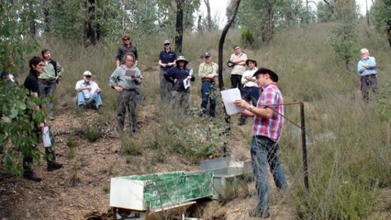
A group of fire managers and scientists this month went deep into the forests of north east Victoria to view research sites in landscapes that were severely damaged in the 2009 bushfires.
Touring research sites at Stanley and Mudgegonga the participants learnt about a series of projects attempting to determine the effects of fire on the landscape.
These studies are helping to predict future fire behaviour—both prescribed fire and bushfire—and the potential adverse impacts on water and carbon.
The Bushfire CRC has commissioned the research through the University of Sydney and the University of Melbourne to measure fire impacts on water resources, erosion and carbon emissions.
Fire and land management agencies across south-eastern Australia are supporting this research including ACT Parks, Conservation and Lands, whose Fire Management Unit Manager, Neil Cooper, is the lead end user of the projects. The Project Leader is Dr Tina Bell, from the University of Sydney.
The Bushfire CRC led the field excursion as part of its professional development event series. In four separate projects grouped under the name Fire in the Landscape, researchers are investigating above- and below-ground carbon and water quality and quantity. The projects aim to gain knowledge for fire and land managers to reduce the risk of large bushfires whilst delivering more high-quality water and an improved carbon balance.
Dr Tarryn Turnbull from the University of Sydney led the first part of the tour looking at the moisture content of leaves in the canopy of a mixed species forest just south of Stanley. Then Dr Gary Sheridan from the University of Melbourne showed how the landscape that burnt in the 2009 Beechworth fire was now experiencing issues with erosion and water quality following heavy rains.

FOR MORE INFO ...
-
Communications Manager


